Around the house
DINARD
LOCATION
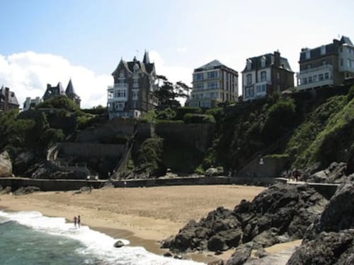
The seaside resort of Dinard is located on the Côte d'Émeraude, near the border with the Côtes-d'Armor and the town of Saint-Malo (where the Rance separates). The Rance tidal power plant, located in the commune of La Richardais, is a technological feat of the 1960s and a major tourist attraction, linking Dinard and Saint-Malo.
Not far from Dinard are the Channel Islands, which can be reached in an hour by high-speed boat from Saint-Malo, or in 15 minutes by plane from Dinard Pleurtuit Saint-Malo airport.
The town's four main beaches are Prieuré, Écluse, Saint-Énogat and Port-Blanc. Other, smaller, unsupervised beaches are accessible via the coastal path linking Le Prieuré to Port-Blanc (plages de la Malouine, Port-Riou and Notre-Dame-du-Roc)
TRANSPORT
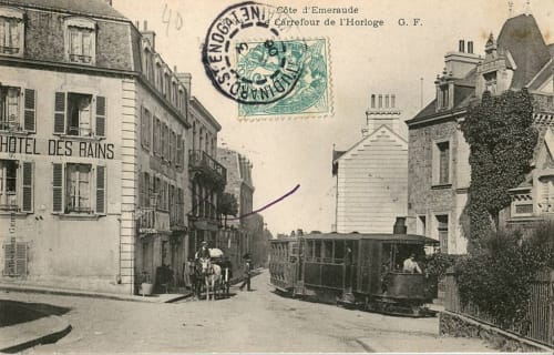
Until 1987, the town was served directly, in season, by a Paris-Montparnasse-Dinard Corail train. This service was discontinued, and the late 19th-century station was demolished in the 2000s. However, access to Dinard has recently been facilitated by the arrival of the TGV high-speed train linking Paris to Saint-Malo station in less than three hours, with a connecting coach service. For motorists, free expressways make up for the absence of a freeway. A ferry service links Dinard to Saint-Malo.
The town is also served by Dinard Pleurtuit Saint-Malo airport
HISTORICAL MONUMENTS
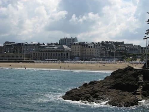
The 14th-century enfeux of the knights Olivier and Geoffroy de Montfort. They are located in the ruins of the chapel of the former priory, near the Prieuré beach.
The house known as the Prince Noir, also built in the 14th century.
Manoir de la Baronnais, a Breton Renaissance-style manor house with formal gardens, was built in 1647.
Fort de l'île Harbour, a former redoubt fortified by Siméon Garangeau in 1689.
The tennis club, one of the first built in France (1879)
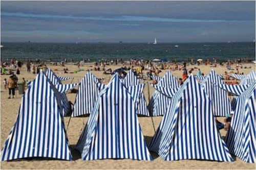
DINARD BEACHES
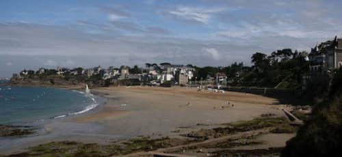
Port-Blanc beach, also in the commune of Saint-Lunaire.
Plage de Saint-Énogat, near the old quarter of Saint-Énogat.
Plage de l'Écluse, the town's main beach near the town center. The casino, heated Olympic seawater pool and Palais des Congrès are located along this beach.
Plage du Prieuré, at the eastern end of the Promenade du Clair de Lune
DINARD EVENTS
Market: Tuesdays, Thursdays and Saturdays on the Halle esplanade from 8am to 1pm. Welcomes 100 to 300 traders, depending on the season. One of the largest in the region. 500 parking spaces. Seasonal Wednesday morning market in Saint-Énogat on the Place du Calvaire.
Brocante fairs: first Sunday of every month from April to September on the esplanade de la Halle. From 8 a.m. to 7 p.m., 45 professional second-hand dealers are present.
Dinard British Film Festival, held every autumn.
Young Designers Festival.
Rendez-vous aux jardins.
Festivals of Laughter.
Cowes-Dinard Boat Race, organized with the help of the Dinard Yacht Club
VISITS AND CULTURE
MONT-SAINT-MICHEL
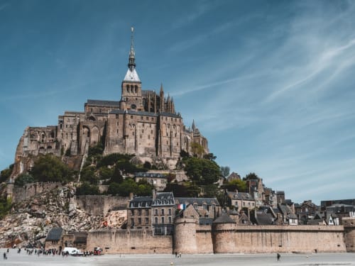
Mont-Saint-Michel is located in the Manche department of the Basse-Normandie region, and takes its name from a rocky islet dedicated to Saint Michael, where the Mont-Saint-Michel abbey now stands.
The architecture of Mont-Saint-Michel and its bay make it the most visited tourist site in Normandy, and the third in France (after the Île-de-France region), with over 3,000,000 visitors every year. A statue of St. Michael stands atop the abbey church, 170 metres above the shoreline. The abbey and its outbuildings are a listed historic monument. The town and bay have been on UNESCO's World Heritage List since 1979.
The Bay of Mont-Saint-Michel is the scene of the highest tides in continental Europe, with tidal ranges of up to 15 metres, the difference between low and high tide. The sea then reaches the coast "at the speed of a galloping horse", as the saying goes.
CANCALE
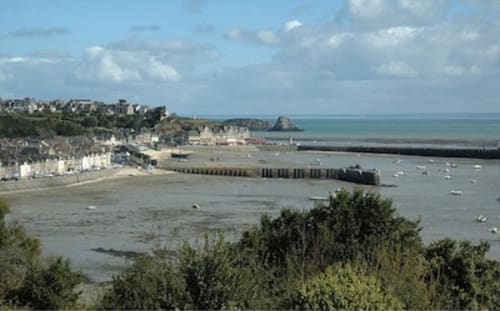
Cancale is located at the western end of the Bay of Mont Saint-Michel, on the Ille-et-Vilaine coast (Côte d'Émeraude), fifteen kilometers east of Saint-Malo. The Bay of Cancale is bounded by the Pointe des Roches Noires to the south and the Pointe des Crolles to the north.
Cancale, with its breakwaters at the far end of the bay, has long been associated by food lovers with the taste of tasty oysters and mussels, a pleasure that can be extended, depending on the state of the tide, by the picturesque spectacle of a charming port or that of oyster farmers at work in the labyrinth of oyster beds.
DOL-DE-BRETAGNE
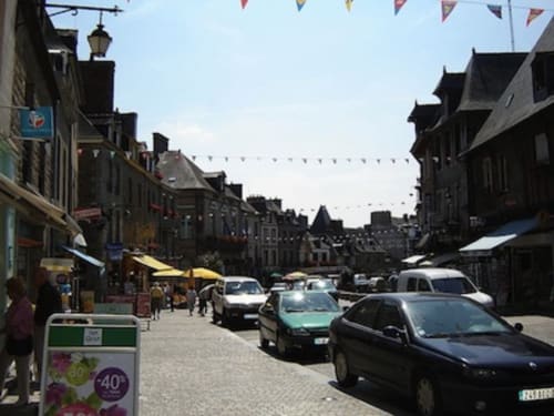
Dol-de-Bretagne lies halfway between Saint-Malo and Mont-Saint-Michel, south of the seaside towns of Cherrueix and Le Vivier-sur-Mer. Rennes lies 55 km to the south.
Dol-de-Bretagne lies on the edge of the 20-metre-high cliffs, which were still being battered by the sea in the 10th century before the accumulation of marine deposits that enabled the construction of the coastal dyke, now part of the Pontorson-Saint-Malo tourist route.
The Dol-de-Bretagne region has been inhabited for a very long time, as witnessed by the menhir du champ Dolent (measuring 9.30 m, it is one of the highest in Brittany), which dates back to the Neolithic period and is located on the outskirts of the town in the direction of Combourg.
SAINT-MALO
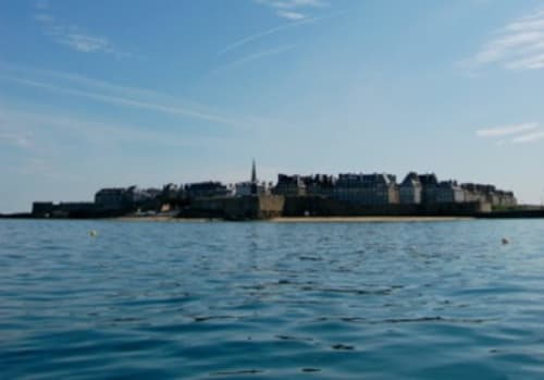
Although tourism is second in terms of revenue, it is nonetheless highly developed: the historic city (intra-muros) is one of the most visited in Brittany. In 2010, a survey published by the TripAdvisor website ranked it as France's top destination of choice for Europeans.
The tides in Saint-Malo Bay are among the highest in Europe.
The tour of the ramparts is undoubtedly Saint-Malo's top tourist attraction. The ramparts encircle the entire town, and can be toured virtually on the Malouin tourist office website
DINAN
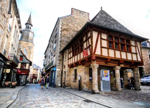
Today, the town has largely restored its heritage. Half-timbered houses still line Place des Cordeliers, Rue de l'Horloge, the famous Rue du Jerzual and other cobbled streets in the town center. The churches of Saint-Sauveur and Saint-Malo stand among the town's former parishes
ERQUY
LE CAP FRÉHEL
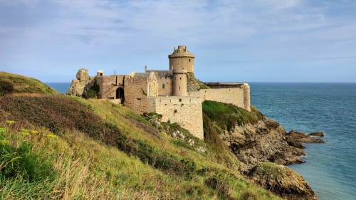
LE FORT-LA-LATTE
SPORT ACTIVITIES
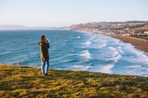
HIKING TOURS
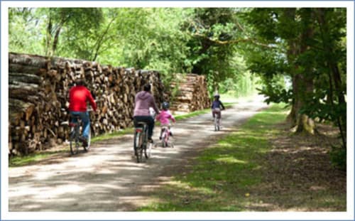
BICYCLE TOURS

TENNIS